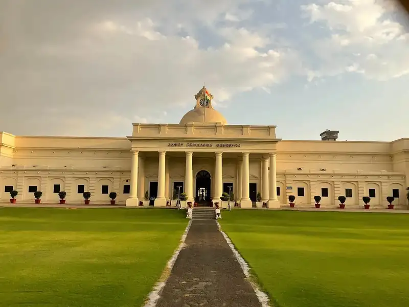
Indian Institute of Technology Roorkee (IIT Roorkee) has developed a high-resolution 10-kilometre climate projection dataset aimed at improving climate research and environmental planning across India and South Asia. The newly developed dataset is expected to play a crucial role in understanding future climate patterns, weather risks, and regional environmental changes with greater accuracy.
The climate projection dataset has been designed to provide detailed information related to temperature, rainfall, extreme weather events, and long-term climate variations. Researchers believe the high-resolution model will help policymakers, scientists, disaster management authorities, and environmental planners make more informed decisions regarding climate adaptation and sustainable development.
Climate projection datasets are important tools used by researchers to study how climate conditions may change in the future under different environmental scenarios. The 10-km resolution developed by IIT Roorkee offers more localized and precise climate data compared to broader global models, making it especially useful for region-specific analysis in India and neighboring South Asian countries.
According to experts, the dataset can significantly improve forecasting related to floods, droughts, heatwaves, changing rainfall patterns, and water resource management. Since South Asia is considered one of the most climate-vulnerable regions in the world, accurate climate projections are essential for preparing long-term mitigation and adaptation strategies.
Researchers involved in the project stated that the dataset was developed using advanced climate modeling techniques and computational analysis. The high-resolution approach enables better understanding of geographical and environmental variations across different regions, including mountainous areas, coastal zones, agricultural belts, and urban centers.
The dataset is expected to support various sectors such as agriculture, infrastructure planning, water management, renewable energy, urban development, and disaster preparedness. Farmers and agricultural planners may benefit from improved rainfall and temperature projections that can assist in crop planning and climate-resilient farming practices.
Environmental experts have appreciated the initiative, noting that localized climate data is increasingly necessary as countries face growing challenges from climate change and extreme weather conditions. Reliable climate information can help governments develop evidence-based policies and strengthen resilience against environmental risks.
India has been actively investing in climate science, meteorological research, and sustainability-focused technologies in recent years. Institutions like IIT Roorkee continue to contribute significantly to scientific innovation and climate-related research that can support both national and regional environmental goals.
The development of this dataset also aligns with global efforts to improve climate monitoring systems and support international climate action frameworks. Scientists believe collaborative climate research in South Asia will become increasingly important as countries work together to address shared environmental challenges.
The initiative highlights IIT Roorkee’s growing role in advanced scientific research and demonstrates how technology-driven climate studies can contribute to sustainable development and disaster risk reduction. The 10-km resolution climate projection dataset is expected to become a valuable resource for researchers and policymakers working toward climate resilience in India and South Asia.